
Observation towers
Look at the world from above
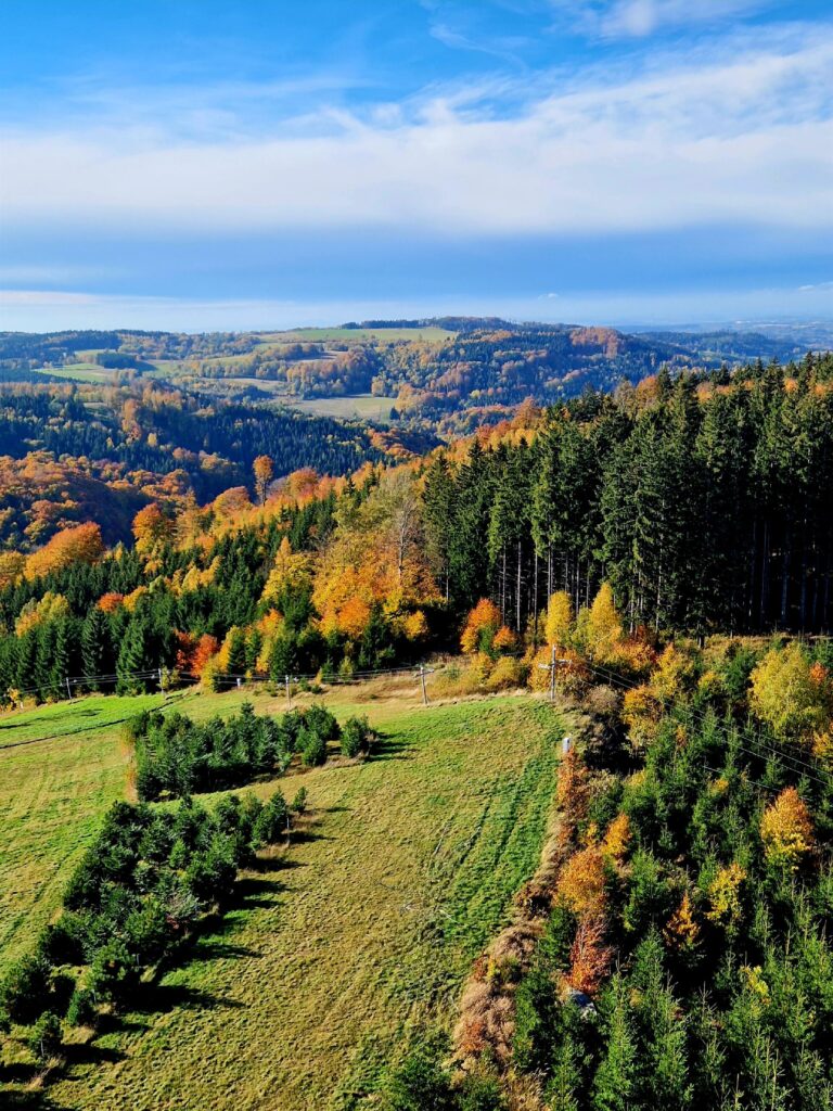
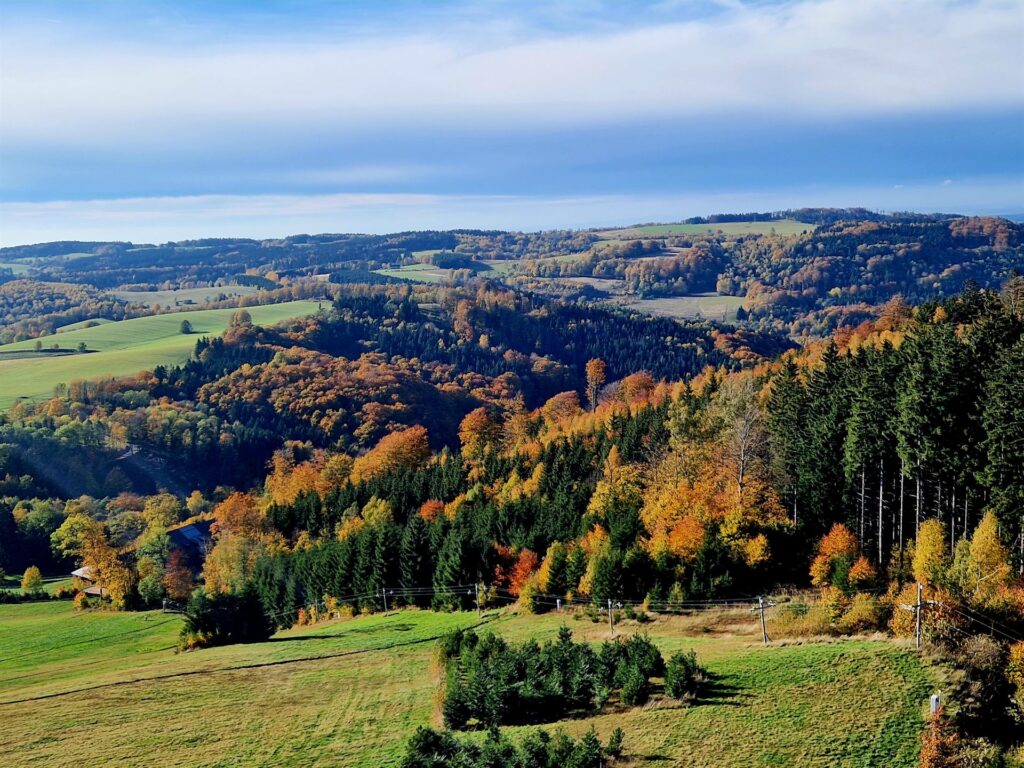
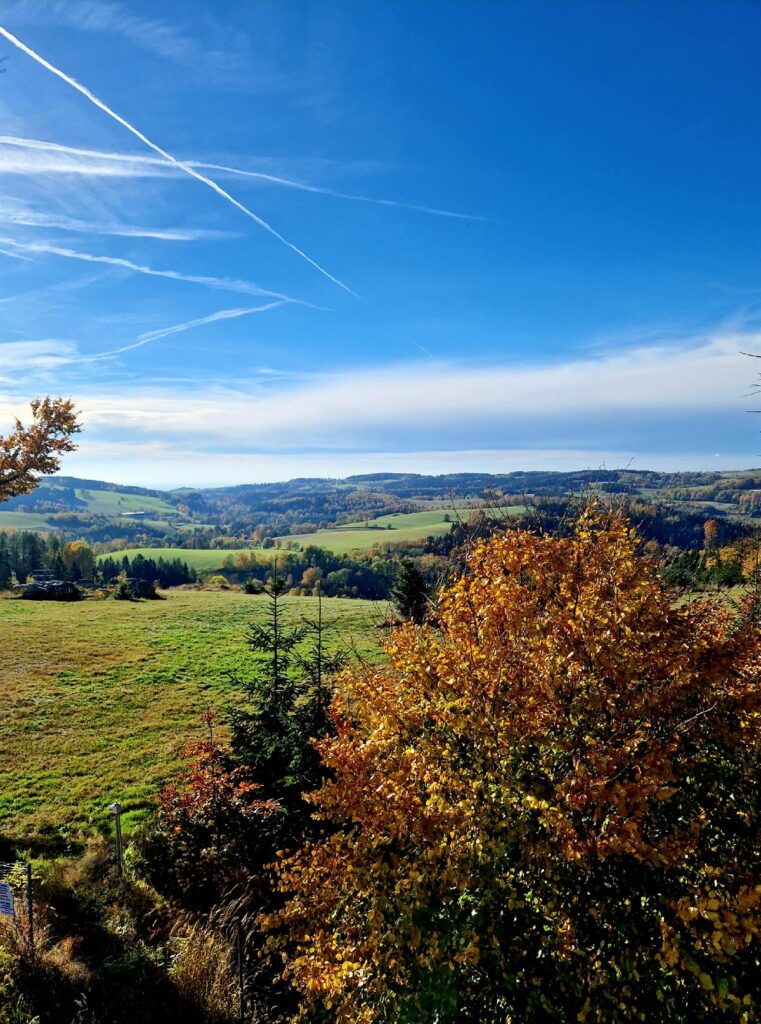
The Polish-Czech border is full of viewpoints and towers located on mountain peaks – a trip to one of them is a proven idea for some exercise and fabulous views. Below you will find a list of nearby observation towers and some tips to help you plan.
Wielka Desztna
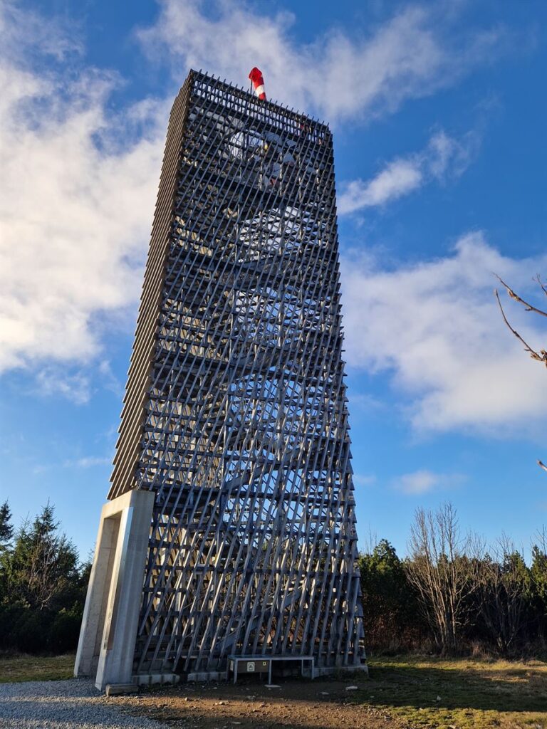
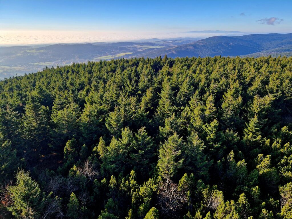
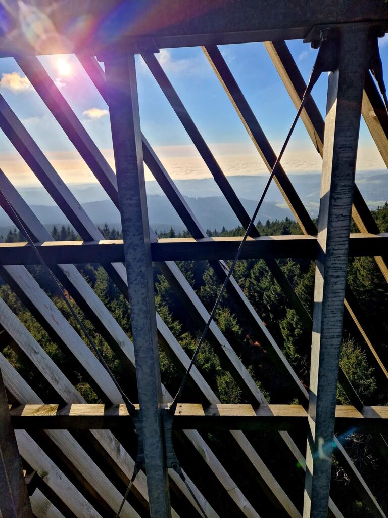
This is definitely one of the most pleasant routes in the area – a hiking trip to Velka Desztna, which is the highest peak of the Orlické Mountains (1,115 m above sea level). The top is topped with a unique observation tower, awarded the building of the year award in the Czech Republic.
We go along the gravel road next to the church in Lasówka, across the bridge over Dzika Orlica, to the Czech side. Then we go straight along a rocky and asphalt road for about 500 m to find the beginning of the forest route marked with the blue trail (a characteristic point: a spring with a tap) a bit behind the Bedřichovka slope. The forest road will take us to the very top, on the last section we turn from the blue trail to the red one.
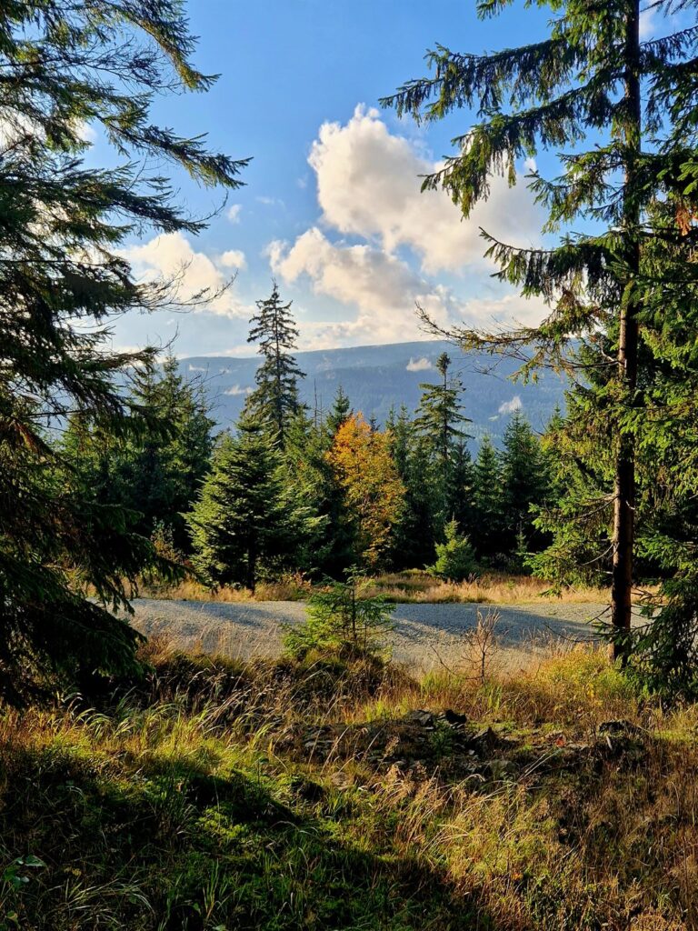
At this point, it is worth recommending a natural viewing point hidden a bit along the route, which offers a fabulous panorama of Lasówka – it is located at the third bend, counting from the entrance to the forest, on the border of spruce and deciduous trees. Since it is not marked, it is easy to miss.
The entire trip from Lasówka to the tower on Wielka Desztna and back takes about 3 hours. Alternatively, you can drive to the Czech parking lot on the route to the peak (below the Masarykova Chata shelter) – this will shorten the hike by about 1 hour.
Orlica
Another peak and observation tower that can be reached on foot, directly from Lasówka. We start the trip from the gravel road below the church, cross the border over the Dziká Orlice bridge and turn right onto the yellow trail at the intersection before the Bedřichovka slope. A picturesque field road will take us to the edge of the forest, where the yellow trail will turn left, through a stream – but we continue the route straight, along a forest road that will take us to road 389, a few hundred meters before Zieleniec. We go through the entire town and at the Rübartsch Stone we turn left, onto the green trail to Orlica.
Once we have feasted our eyes on the mountain panorama stretching from the tower on Orlica and we spot Lasówka, we continue the trip along the red trail, over the ski lifts, to the Masarykova Chata shelter on the top of Šerlich, then we go down the blue trail to the beginning of Zieleniec and return along the same route we took from Lasówka. This is a proposition for slightly more ambitious walkers, because the route is approximately 25 km long and takes approximately 7 hours to complete.
Alternatively, we leave the car in the large parking lot at Nartorama and make a loop around Zieleniec: Kamień Rübartsch – green trail – Orlica – red trail – Masarykova Chata – blue trail – parking lot. In this version, the trip is approx. 11 km and will take us approx. 3 hours. In the minimum version: we leave the car at one of the parking lots at the end of Zieleniec, follow the green trail to Orlica and return the same way (4 km in total, just over an hour). ).
Jagodna
One more option for keen walkers – a hiking trip from Lasówka to Spalona, to the observation tower on Jagodna, which is the highest peak of the Bystrzyckie Mountains (977 m above sea level).
We start at Rozdroże nad Lasówka (above the church) and follow the red trail leading through the forest to Spalona and the PTTK Jagodna shelter. From there we make a loop to Jagodno and return the same route to Lasówka. In this version, the trip takes approximately 8 hours and is almost 30 km long. Alternatively, we leave the car in the parking lot at the shelter and go to Jagoda – then the route is approximately 11 km long and will take us 3 hours.
Czerniec
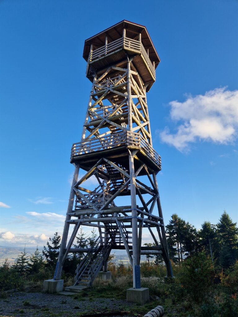
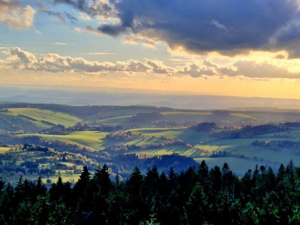
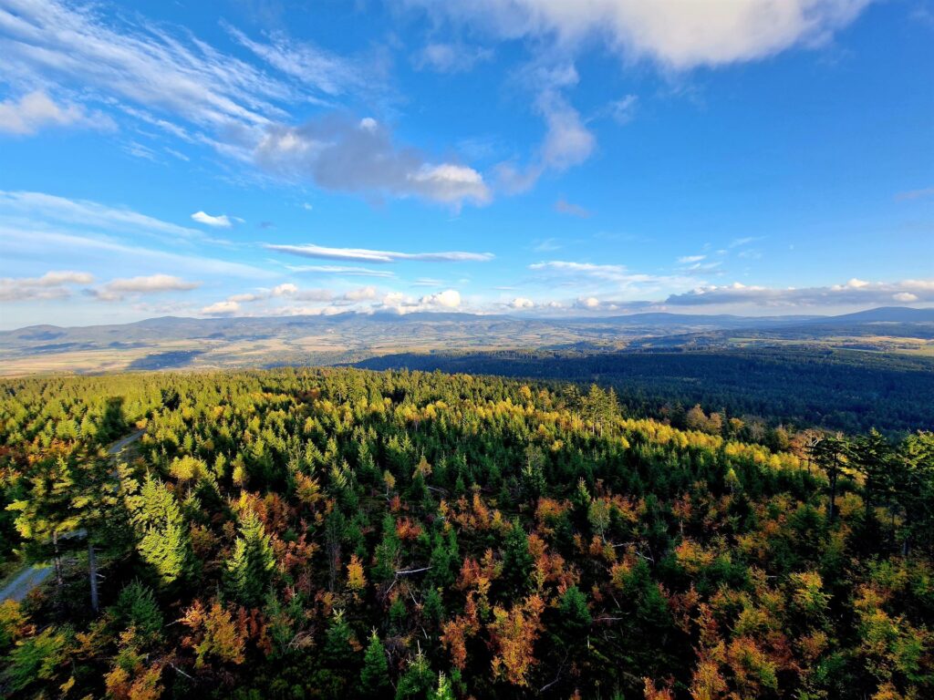
This second highest peak of the Bystrzyckie Mountains (841 m above sea level) also boasts a beautiful wooden observation tower, and a trip to it is as pleasant as it is undemanding. We park the car in Gniewoszów, next to the yellow trail, from where the route to the tower will take us about 45 minutes, which together with the return journey means a trip of less than 2 hours, without any major climbs. The vast panorama of the area, especially in autumn, is a real feast for the eyes.
Śnieżnik
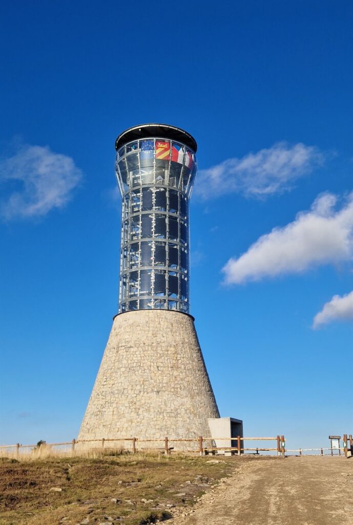
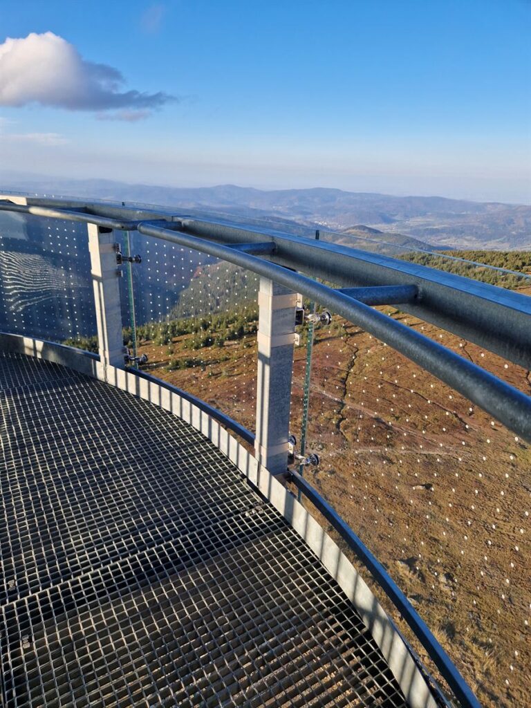
This impressive observation tower and the highest peak in the area (1,425 m above sea level) is a must-see during your stay in Lasówka. We start the trip in Międzygórze, the most convenient way is to park at the Pod Skocznią parking lot, from where we follow the red trail to the PTTK shelter “Pod Śnieżników” (4 km). From here it will take us about 30 minutes to reach the top and the tower there. The entire route is approximately 11 km and, depending on your pace and time spent admiring the area from the tower terrace, it will take less than 5 hours.
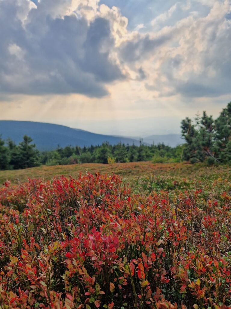
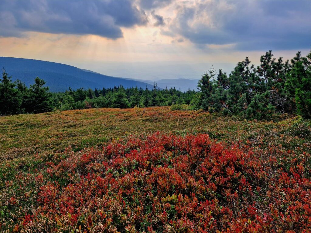
The name of the peak refers to the confluence of three seas: the Baltic, the North and the Black Sea, which feed the local rivers, making this place unique. On the route, we also have the opportunity to see with our own eyes the rather inconspicuous source of the Nysa Kłodzka. The wooden structure of the tower is 25 m high, and the trip to the top is 1,145 m above sea level. shouldn’t cause any major difficulties. We start the expedition in Jodłów, 40 km away from Lasówka, precisely at the parking lot at Rozdroże pod Kamienny Garb, from where we follow the red trail to Trójmorski Wierch. From the tower you can clearly see Śnieżnik with another observation tower, the Czech Path in the Clouds and a beautiful panorama of the Kłodzko Valley. The return route leads through the Puchacz Pass and then along the yellow and then blue trails we reach the parking lot. The whole thing will take less than 4 hours, during which we will cover a distance of approximately 11 km.
Kłodzka Góra
Usytuowana niedaleko Kłodzka (kierunek Złoty Stok) wieża o stalowej konstrukcji ma 35 m i podziwiać można z niej zarówno Góry Orlickie, jak i Bardzkie czy Masyw Śnieżnika. Wycieczkę rozpoczynamy na Przełęczy Kłodzkiej, gdzie zaraz przy zjeździe z drogi asfaltowej usytuowany jest parking. Ile idzie się na Kłodzką Górę? Dystans 3 km zajmie nam przeszło godzinę, a cała wycieczka razem z wejściem na wieżę widokową i powrotem nieco ponad 2 h.
Olešnice
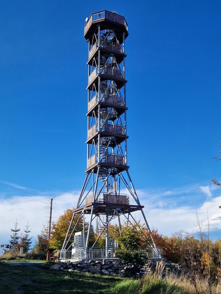
Another observation tower belonging to the Czech-Polish Ridge Trail, located near the Czech town of Olesznice (Olešnice v Orlických horách), on the Feist Kopec. In the minimum version, we leave the car at the market square in Olesznice and go to the observation tower, which will take us less time (20 min) than getting there by car from Lasówka (35 min/26 km). Therefore, we recommend a slightly different version: leaving the car in the forest parking lot near the Polish-Czech border (Čihalka, about 1 km beyond Zieleniec) and going on foot along the yellow trail, from where it is just over 5 km to the tower in Olesznice. Return along the same forest road past the Čihalka hut. Alternatively, we can follow the green trail from Kamień Rübartsch in Zieleniec, and continue the trip from Orlice to Olesznice along the red trail – this option, together with the entrance to the observation tower and the return route, is less than 16 km and approx. 4.5 hours.
Anensky Verch (Szczyt Anny)
A quiet walk awaits those tourists who go to the observation tower at Anna Peak. To do this, go towards Říčky and leave your car at the Mezivrší paid parking lot (Parkowiště Mezivrší, approx. 6 km before Říčky, and 12 km from Lasówka). The red trail leading along a flat forest road will take us right to the observation tower – the entire trip back along the same route is 4 km and less than an hour.
Nový Hrádek
The observation tower on the top of Šibeník, located only 36 km from Lasówka, is certainly one of the most unique – the structure uses the pole of a former wind farm. The viewing platform is located at a height of 30 m and offers a panoramic view of the Orlické Mountains and Lake Rozkoš.
We can reach Nový Hrádek from both Lewin Klodzkie and Destne/Sedlonov.


